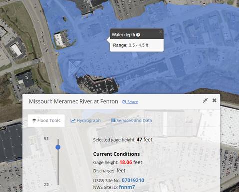
 The USGS in cooperation with several local public and private entities has developed a web-based flood mapping tool to assist communities in visualizing their flood risk based upon the river levels as measured at certain gages. The stations for Fenton and Valley Park were the first two developed along the lower Meramec River.
The Fenton Gage is available for modeling at https://fim.wim.usgs.gov/fim/?site_no=07019210.
The Valley Park Gage is avaiable for modeling at https://fim.wim.usgs.gov/fim/?site_no=07019130.
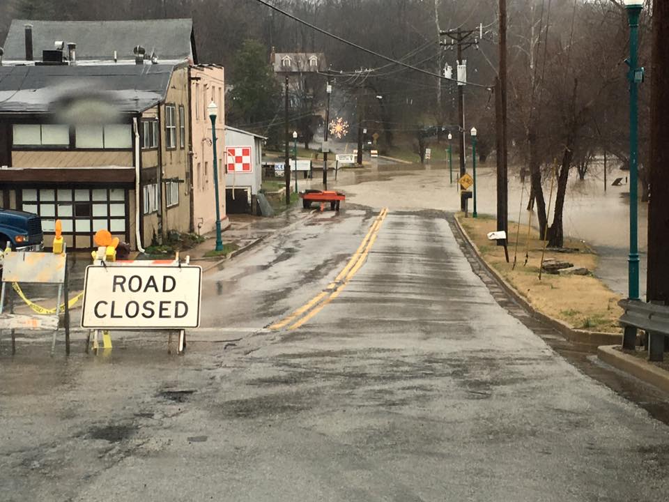 Flooding is a common occurrence in certain areas of the Fenton Fire Protection District. Because of this constant threat, the district has developed maps to display the potential effects on flooding at different river levels. The maps are an estimate based on ground elevation and river levels measured at the
 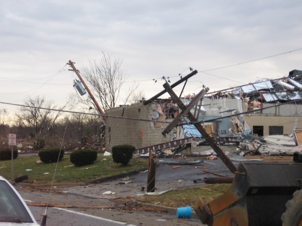 Disasters are not limited to large scale natural incidents like hurricanes and blizzards. In fact, the the most likely disasters for individuals, businesses, and industries are localized occurrences such as storm damage, tornadoes, flooding, or fire. The time to plan your response to your disaster is not when the disaster happens. The time is now.
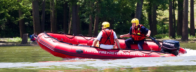