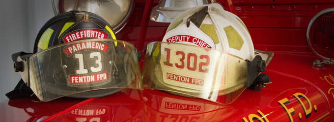
![]() The Fenton Fire Protection District is committed to providing our residents and neighbors the highest quality emergency services by being progressive, highly trained, and community oriented. We will achieve our mission through strong leadership, financial responsibility, and innovation.
The Fenton Fire Protection District is committed to providing our residents and neighbors the highest quality emergency services by being progressive, highly trained, and community oriented. We will achieve our mission through strong leadership, financial responsibility, and innovation.
Fenton Fire District Mission Statement
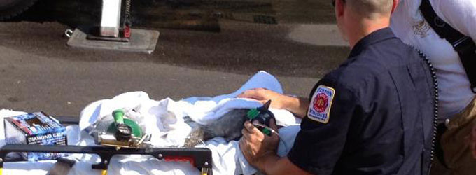
Car Seat Installations
The Fenton Fire Protection District can install and check for proper installation of car seats for residents or non residents Mon-Friday from the hours of 8am-4pm. To arrange for a car seat installation, please call 636-343-4188, press 0 to speak with a secretary and they will try to accommodate your availability based on technicians on duty. Please note that not every Firefighter/Paramedic is certified to install car seats and the Fenton Fire Protection District offers this service as a courtesy to the public.